
Shandon topographic map
Interactive map
Click on the map to display elevation.
About this map
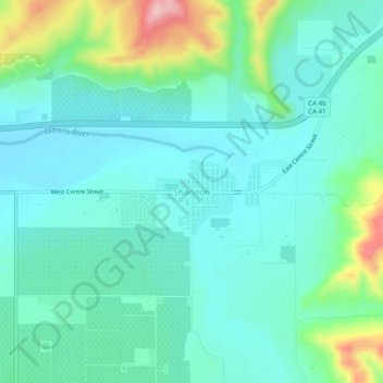
Name: Shandon topographic map, elevation, terrain.
Location: Shandon, San Luis Obispo County, California, 93461, USA (35.63525 -120.39543 35.67525 -120.35543)
Average elevation: 346 m
Minimum elevation: 300 m
Maximum elevation: 503 m