
Mainburg topographic map
Interactive map
Click on the map to display elevation.
About this map
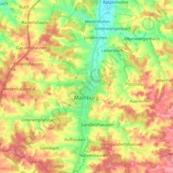
Name: Mainburg topographic map, elevation, terrain.
Location: Mainburg, Landkreis Kelheim, Bavaria, 84048, Germany (48.59977 11.69187 48.69302 11.82806)
Average elevation: 456 m
Minimum elevation: 400 m
Maximum elevation: 514 m
Other topographic maps
Click on a map to view its topography, its elevation and its terrain.