
Ritchie topographic map
Interactive map
Click on the map to display elevation.
About this map
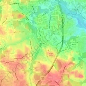
Name: Ritchie topographic map, elevation, terrain.
Location: Ritchie, Prince George's County, Maryland, 20747, USA (38.85067 -76.87553 38.89067 -76.83553)
Average elevation: 59 m
Minimum elevation: 24 m
Maximum elevation: 90 m