
Kampung Santong topographic map
Interactive map
Click on the map to display elevation.
About this map
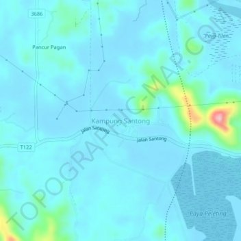
Name: Kampung Santong topographic map, elevation, terrain.
Location: Kampung Santong, Terengganu, 23100, Malaysia (4.60481 103.36900 4.64481 103.40900)
Average elevation: 19 m
Minimum elevation: 2 m
Maximum elevation: 180 m