
Sørset topographic map
Interactive map
Click on the map to display elevation.
About this map
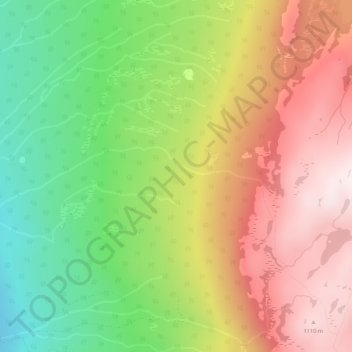
Name: Sørset topographic map, elevation, terrain.
Location: Sørset, Knutsgard, Tinn, Telemark, Norway (59.86144 9.13558 59.88144 9.15558)
Average elevation: 809 m
Minimum elevation: 498 m
Maximum elevation: 1,130 m