
Upper Darby topographic map
Interactive map
Click on the map to display elevation.
About this map
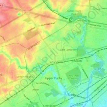
Name: Upper Darby topographic map, elevation, terrain.
Location: Upper Darby, Delaware County, Pennsylvania, USA (39.91159 -75.33153 39.97500 -75.24722)
Average elevation: 45 m
Minimum elevation: 3 m
Maximum elevation: 99 m