
Chrome Hill topographic map
Interactive map
Click on the map to display elevation.
About this map
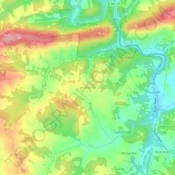
Name: Chrome Hill topographic map, elevation, terrain.
Location: Chrome Hill, Harford County, Maryland, USA (39.60261 -76.44052 39.64261 -76.40052)
Average elevation: 134 m
Minimum elevation: 72 m
Maximum elevation: 214 m