
l'Eau Rouge topographic map
Interactive map
Click on the map to display elevation.
About this map
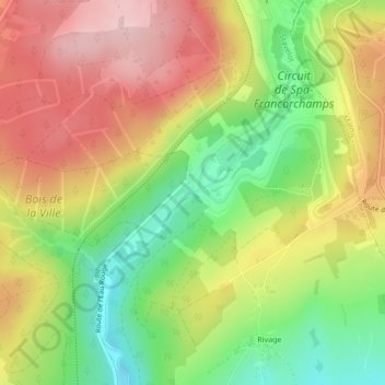
Name: l'Eau Rouge topographic map, elevation, terrain.
Location: l'Eau Rouge, Stavelot, Verviers, Liège, Wallonia, 4970, Belgium (50.42937 5.95892 50.42949 5.95912)
Average elevation: 432 m
Minimum elevation: 322 m
Maximum elevation: 539 m