
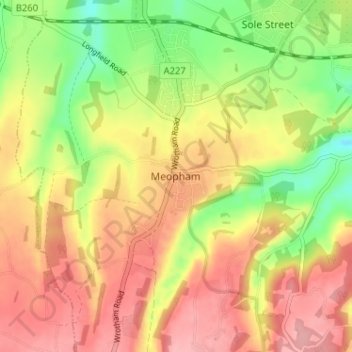
Meopham topographic map
Interactive map
Click on the map to display elevation.
About this map
Name: Meopham topographic map, elevation, terrain.
Location: Meopham, Kent, South East, England, DA13 0AG, United Kingdom (51.34888 0.34060 51.38888 0.38060)
Average elevation: 117 m
Minimum elevation: 54 m
Maximum elevation: 168 m