Geolocate

Daegu topographic map

Interactive map

Click on the map to display elevation.

About this map

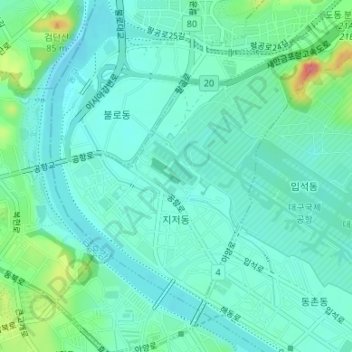
Name: Daegu topographic map, elevation, terrain.

Location: Jijeodong, Dong-gu, Daegu, South Korea (35.88892 128.63504 35.90966 128.65237)

Average elevation: 38 m

Minimum elevation: 20 m

Maximum elevation: 101 m

Other topographic maps

Click on a map to view its topography, its elevation and its terrain.

Pyeongni 6(yuk)-dong

South Korea > Daegu

Pyeongni 6(yuk)-dong, Seo-gu, Daegu, 41761, South Korea

Average elevation: 37 m

Jung-gu

South Korea > Daegu

Jung-gu, Daegu, South Korea

Average elevation: 50 m

Jung-dong

South Korea > Daegu

Jung-dong, Suseong-gu, Daegu, South Korea

Average elevation: 66 m

Dong-gu

South Korea > Daegu

Dong-gu, Daegu, South Korea

Average elevation: 195 m