
Jordan River topographic map
Interactive map
Click on the map to display elevation.
About this map
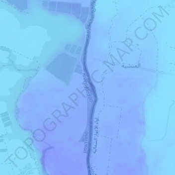
Name: Jordan River topographic map, elevation, terrain.
Average elevation: -252 m
Minimum elevation: -270 m
Maximum elevation: -219 m
Other topographic maps
Click on a map to view its topography, its elevation and its terrain.
Emek HaMaayanot Regional Council
Israel > North District > Emek HaMaayanot Regional Council
Average elevation: 40 m