
Waiwera River topographic map
Interactive map
Click on the map to display elevation.
About this map
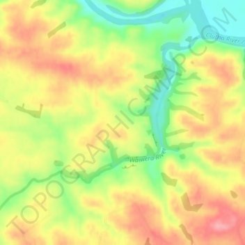
Name: Waiwera River topographic map, elevation, terrain.
Location: Waiwera River, Clutha District, Otago, New Zealand (-46.17233 169.53659 -46.15294 169.56987)
Average elevation: 64 m
Minimum elevation: 4 m
Maximum elevation: 113 m