
Isham topographic map
Interactive map
Click on the map to display elevation.
About this map
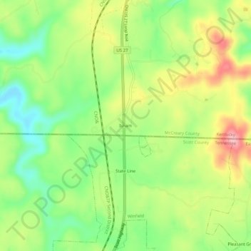
Name: Isham topographic map, elevation, terrain.
Location: Isham, McCreary County, Kentucky, 37892, USA (36.57758 -84.45883 36.61758 -84.41883)
Average elevation: 413 m
Minimum elevation: 345 m
Maximum elevation: 499 m