
Brock topographic map
Interactive map
Click on the map to display elevation.
About this map
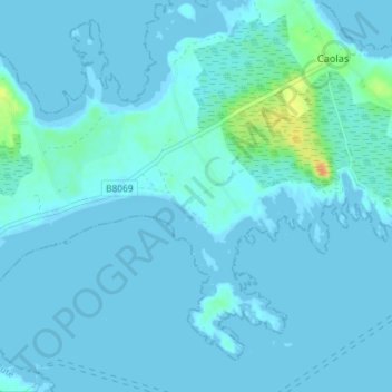
Name: Brock topographic map, elevation, terrain.
Location: Brock, Argyll and Bute, Scotland, PA77 6TR, United Kingdom (56.50775 -6.78936 56.54775 -6.74936)
Average elevation: 3 m
Minimum elevation: -1 m
Maximum elevation: 32 m