
Rawlins County topographic map
Interactive map
Click on the map to display elevation.
About this map
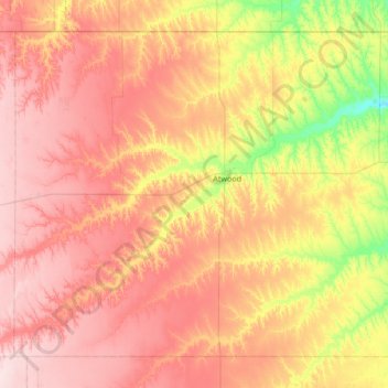
Name: Rawlins County topographic map, elevation, terrain.
Location: Rawlins County, Kansas, United States (39.56826 -101.41284 40.00273 -100.73987)
Average elevation: 943 m
Minimum elevation: 810 m
Maximum elevation: 1,055 m