
Venata topographic map
Interactive map
Click on the map to display elevation.
About this map
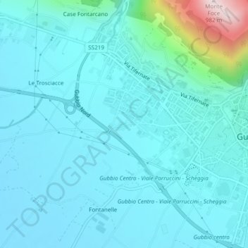
Name: Venata topographic map, elevation, terrain.
Location: Venata, Gubbio, PG, Umbria, 06024, Italy (43.34310 12.54824 43.36310 12.56824)
Average elevation: 503 m
Minimum elevation: 435 m
Maximum elevation: 976 m