
Seoul topographic map
Interactive map
Click on the map to display elevation.
About this map
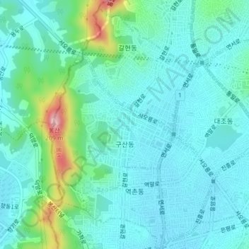
Name: Seoul topographic map, elevation, terrain.
Location: Gusan-dong, Eunpyeong-gu, Seoul, South Korea (37.60474 126.90091 37.61970 126.91721)
Average elevation: 52 m
Minimum elevation: 19 m
Maximum elevation: 191 m