
Al Fath topographic map
Interactive map
Click on the map to display elevation.
About this map
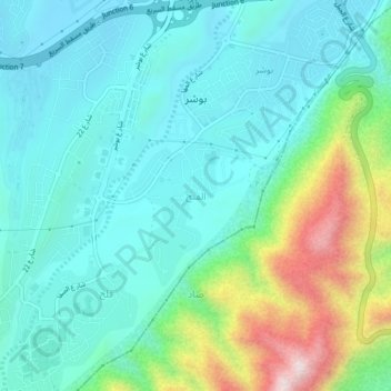
Name: Al Fath topographic map, elevation, terrain.
Location: Al Fath, Muscat, 84790, Oman (23.53000 58.39000 23.57000 58.43000)
Average elevation: 173 m
Minimum elevation: 17 m
Maximum elevation: 681 m