
Stahl topographic map
Interactive map
Click on the map to display elevation.
About this map
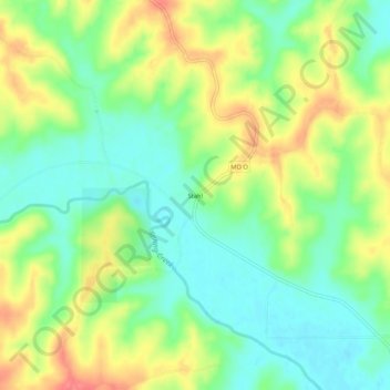
Name: Stahl topographic map, elevation, terrain.
Location: Stahl, Adair County, Missouri, USA (40.27141 -92.80909 40.31141 -92.76909)
Average elevation: 268 m
Minimum elevation: 239 m
Maximum elevation: 310 m