
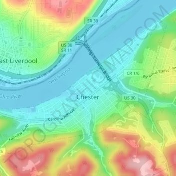
Chester topographic map
Interactive map
Click on the map to display elevation.
About this map
Name: Chester topographic map, elevation, terrain.
Location: Chester, Hancock County, West Virginia, 26034, United States (40.60432 -80.58166 40.62470 -80.54693)
Average elevation: 264 m
Minimum elevation: 203 m
Maximum elevation: 382 m