
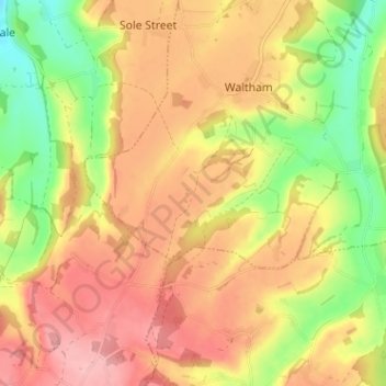
Grandacre topographic map
Interactive map
Click on the map to display elevation.
About this map
Name: Grandacre topographic map, elevation, terrain.
Location: Grandacre, Kent, South East, England, CT4 5SW, United Kingdom (51.16719 0.98734 51.20719 1.02734)
Average elevation: 130 m
Minimum elevation: 54 m
Maximum elevation: 189 m
England trails, hiking, mountain biking, running and outdoor activities