
Crundale topographic map
Interactive map
Click on the map to display elevation.
About this map
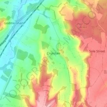
Name: Crundale topographic map, elevation, terrain.
Location: Crundale, Kent, South East, England, CT4 7EE, United Kingdom (51.18369 0.95398 51.22369 0.99398)
Average elevation: 91 m
Minimum elevation: 23 m
Maximum elevation: 171 m