
Tyrna topographic map
Interactive map
Click on the map to display elevation.
About this map
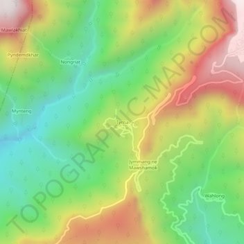
Name: Tyrna topographic map, elevation, terrain.
Location: Tyrna, East Khasi Hills, Meghalaya, India (25.22112 91.66078 25.26112 91.70078)
Average elevation: 644 m
Minimum elevation: 161 m
Maximum elevation: 1,308 m