
Kabelsketal topographic map
Interactive map
Click on the map to display elevation.
About this map
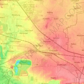
Name: Kabelsketal topographic map, elevation, terrain.
Location: Kabelsketal, Saalekreis, Saxony-Anhalt, 06184, Germany (51.40649 12.02071 51.48668 12.19412)
Average elevation: 107 m
Minimum elevation: 59 m
Maximum elevation: 132 m