
Parc de la Coulée topographic map
Interactive map
Click on the map to display elevation.
About this map
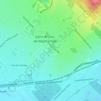
Name: Parc de la Coulée topographic map, elevation, terrain.
Average elevation: 39 m
Minimum elevation: 17 m
Maximum elevation: 112 m
Other topographic maps
Click on a map to view its topography, its elevation and its terrain.
Parc national du Mont-Saint-Bruno
Canada > Québec > Saint-Bruno-de-Montarville
Parc national du Mont-Saint-Bruno, Chemin Seigneurial, Saint-Bruno-de-Montarville, Longueuil (agglomeration), Montérégie, Québec, J3V 0G6, Canada
Average elevation: 55 m