
Tegher topographic map
Interactive map
Click on the map to display elevation.
About this map
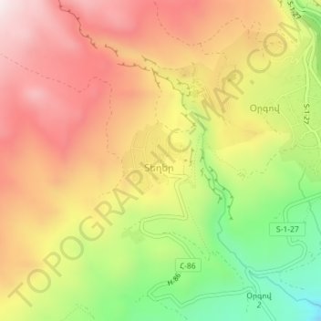
Name: Tegher topographic map, elevation, terrain.
Location: Tegher, Aragatsotn Province, Armenia (40.34225 44.23321 40.34844 44.24051)
Average elevation: 1,690 m
Minimum elevation: 1,326 m
Maximum elevation: 1,984 m