
ಕಕ್ಕೆರ topographic map
Interactive map
Click on the map to display elevation.
About this map
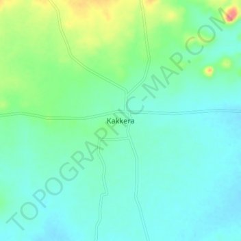
Name: ಕಕ್ಕೆರ topographic map, elevation, terrain.
Location: ಕಕ್ಕೆರ, Surapura taluku, Yadagiri district, Karnataka, India (16.36426 76.56949 16.40426 76.60949)
Average elevation: 410 m
Minimum elevation: 390 m
Maximum elevation: 463 m