
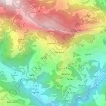
Modi Rural Municipality Ward No.3 topographic map
Interactive map
Click on the map to display elevation.
About this map
Name: Modi Rural Municipality Ward No.3 topographic map, elevation, terrain.
Average elevation: 1,502 m
Minimum elevation: 905 m
Maximum elevation: 2,311 m