
Anjoman topographic map
Interactive map
Click on the map to display elevation.
About this map
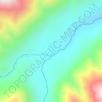
Name: Anjoman topographic map, elevation, terrain.
Location: Anjoman, Kuran wa Munjan, Badakhshan Province, Afghanistan (35.89098 70.41035 35.89663 70.41752)
Average elevation: 3,280 m
Minimum elevation: 3,006 m
Maximum elevation: 3,975 m
Because of its high altitude, Anjuman enjoys an alpine tundra climate (Köppen climate classification: ET) with short, pleasant summers and long, cold winters. The village lies in the discontinuous permafrost zone, as the average annual temperature reaches −3.2 °C (26.2 °F).
Other topographic maps
Click on a map to view its topography, its elevation and its terrain.
Koran va Monjan
Afghanistan > Badakhshan Province > Kuran wa Munjan
Koran va Monjan, Kuran wa Munjan, Badakhshan Province, Afghanistan
Average elevation: 3,132 m