
Khanapur topographic map
Interactive map
Click on the map to display elevation.
Khanapur
Khanapur has an elevation of 646 metres (2,119 ft).
About this map
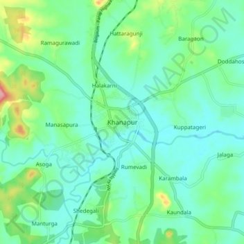
Name: Khanapur topographic map, elevation, terrain.
Average elevation: 668 m
Minimum elevation: 639 m
Maximum elevation: 763 m