
Maxwelton topographic map
Interactive map
Click on the map to display elevation.
About this map
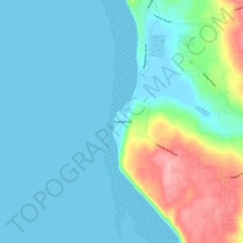
Name: Maxwelton topographic map, elevation, terrain.
Location: Maxwelton, Island County, Washington, USA (47.91732 -122.46431 47.95732 -122.42431)
Average elevation: 27 m
Minimum elevation: 0 m
Maximum elevation: 125 m