
Kantiwa topographic map
Interactive map
Click on the map to display elevation.
About this map
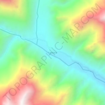
Name: Kantiwa topographic map, elevation, terrain.
Location: Kantiwa, Parun, Nuristan, Afghanistan (35.29349 70.72368 35.33349 70.76368)
Average elevation: 2,876 m
Minimum elevation: 2,361 m
Maximum elevation: 3,789 m