
Bexley topographic map
Interactive map
Click on the map to display elevation.
About this map
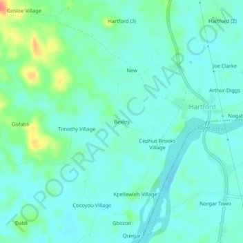
Name: Bexley topographic map, elevation, terrain.
Location: Bexley, St. John River City, Grand Bassa County, Liberia (5.98000 -10.05333 6.02000 -10.01333)
Average elevation: 13 m
Minimum elevation: 0 m
Maximum elevation: 55 m