
Bříza topographic map
Interactive map
Click on the map to display elevation.
About this map
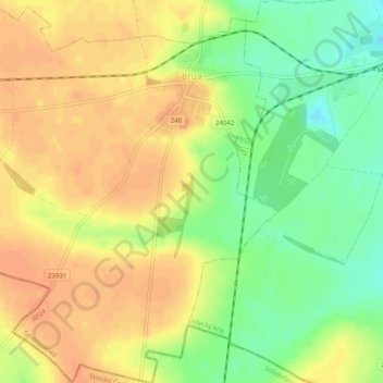
Name: Bříza topographic map, elevation, terrain.
Location: Bříza, okres Litoměřice, Ústecký kraj, Northwest, Czechia (50.33515 14.18167 50.36679 14.22748)
Average elevation: 236 m
Minimum elevation: 214 m
Maximum elevation: 249 m