
Hualien City topographic map
Interactive map
Click on the map to display elevation.
About this map
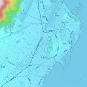
Name: Hualien City topographic map, elevation, terrain.
Location: Hualien City, Hualien County, 970, Taiwan (23.96295 121.55769 24.02696 121.64743)
Average elevation: 57 m
Minimum elevation: -4 m
Maximum elevation: 1,255 m
Other topographic maps
Click on a map to view its topography, its elevation and its terrain.
Lushui
Taiwan > Hualien County > Xiulin
Lushui, Fushi Village, Xiulin, Hualien County, 972, Taiwan
Average elevation: 889 m