
Kinkora topographic map
Interactive map
Click on the map to display elevation.
About this map
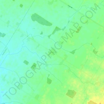
Name: Kinkora topographic map, elevation, terrain.
Location: Kinkora, Perth County, Southwestern Ontario, Ontario, Canada (43.45797 -81.09407 43.49797 -81.05407)
Average elevation: 361 m
Minimum elevation: 351 m
Maximum elevation: 375 m