
Cheikh Taba topographic map
Interactive map
Click on the map to display elevation.
About this map
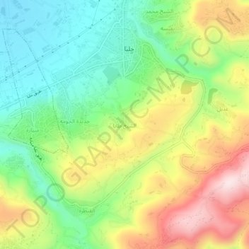
Name: Cheikh Taba topographic map, elevation, terrain.
Location: Cheikh Taba, Akkar District, Akkar Governorate, 35111, Lebanon (34.51212 36.05750 34.55212 36.09750)
Average elevation: 238 m
Minimum elevation: 47 m
Maximum elevation: 513 m