
Railway topographic map
Interactive map
Click on the map to display elevation.
About this map
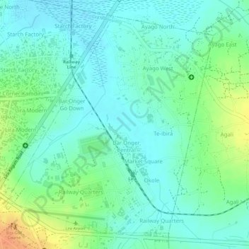
Name: Railway topographic map, elevation, terrain.
Location: Railway, Lira Municipality, Lira City, Northern Region, Uganda (2.24593 32.90337 2.26946 32.92581)
Average elevation: 1,079 m
Minimum elevation: 1,065 m
Maximum elevation: 1,106 m