
Gardners topographic map
Interactive map
Click on the map to display elevation.
About this map
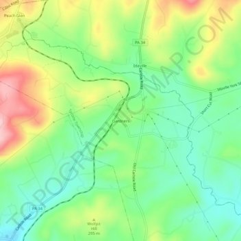
Name: Gardners topographic map, elevation, terrain.
Location: Gardners, Adams County, Pennsylvania, 17337, USA (39.98565 -77.22693 40.02565 -77.18693)
Average elevation: 264 m
Minimum elevation: 193 m
Maximum elevation: 380 m