
Quang Vinh Ward topographic map
Interactive map
Click on the map to display elevation.
About this map
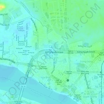
Name: Quang Vinh Ward topographic map, elevation, terrain.
Location: Quang Vinh Ward, Bien Hoa City, Dong Nai province, Vietnam (10.94745 106.80767 10.96459 106.81832)
Average elevation: 8 m
Minimum elevation: 0 m
Maximum elevation: 27 m