
Las Pozas topographic map
Interactive map
Click on the map to display elevation.
About this map
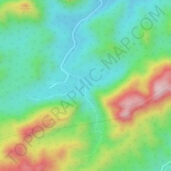
Name: Las Pozas topographic map, elevation, terrain.
Location: Las Pozas, Bahía Honda, Artemisa, Cuba (22.79112 -83.26508 22.81332 -83.25855)
Average elevation: 242 m
Minimum elevation: 123 m
Maximum elevation: 448 m
Other topographic maps
Click on a map to view its topography, its elevation and its terrain.