
Mapleton topographic map
Interactive map
Click on the map to display elevation.
About this map
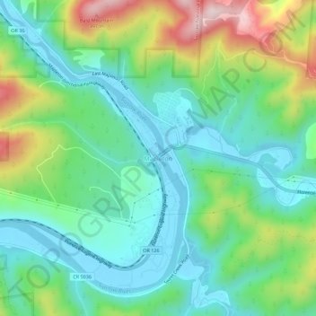
Name: Mapleton topographic map, elevation, terrain.
Location: Mapleton, Lane County, Oregon, 97453, USA (44.01139 -123.87872 44.05139 -123.83872)
Average elevation: 131 m
Minimum elevation: -3 m
Maximum elevation: 448 m