
Kutkai topographic map
Interactive map
Click on the map to display elevation.
About this map
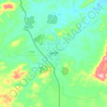
Name: Kutkai topographic map, elevation, terrain.
Location: Kutkai, Mu Se District, North Shan State, Shan State, Myanmar (23.41932 97.89847 23.49932 97.97847)
Average elevation: 1,377 m
Minimum elevation: 1,306 m
Maximum elevation: 1,574 m