
Münzkirchen topographic map
Interactive map
Click on the map to display elevation.
About this map
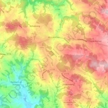
Name: Münzkirchen topographic map, elevation, terrain.
Location: Münzkirchen, Schärding, Upper Austria, 4792, Austria (48.43932 13.54085 48.50823 13.62629)
Average elevation: 496 m
Minimum elevation: 346 m
Maximum elevation: 620 m