
La Rhune topographic map
Interactive map
Click on the map to display elevation.
About this map
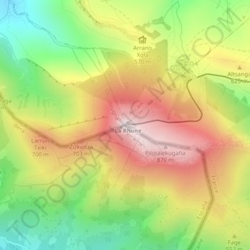
Name: La Rhune topographic map, elevation, terrain.
Location: La Rhune, Bera, Navarre, Espagne (43.30899 -1.63556 43.30909 -1.63546)
Average elevation: 525 m
Minimum elevation: 175 m
Maximum elevation: 886 m