
Vici topographic map
Interactive map
Click on the map to display elevation.
About this map
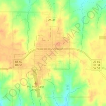
Name: Vici topographic map, elevation, terrain.
Location: Vici, Dewey County, Oklahoma, 73859, USA (36.14185 -99.31036 36.15559 -99.29307)
Average elevation: 685 m
Minimum elevation: 662 m
Maximum elevation: 696 m