
Devín topographic map
Interactive map
Click on the map to display elevation.
About this map
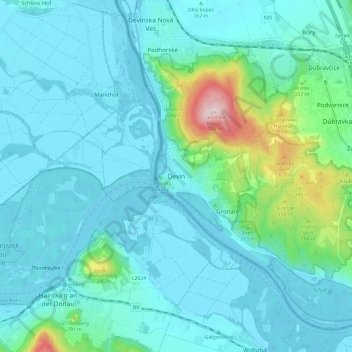
Name: Devín topographic map, elevation, terrain.
Location: Devín, Bratislava, Region of Bratislava, 841 10, Slovakia (48.13459 16.94261 48.21459 17.02261)
Average elevation: 189 m
Minimum elevation: 136 m
Maximum elevation: 501 m