
Tanah Sareal topographic map
Interactive map
Click on the map to display elevation.
About this map
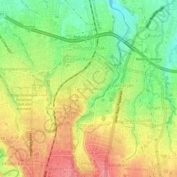
Name: Tanah Sareal topographic map, elevation, terrain.
Location: Tanah Sareal, West Java, 16161, Indonesia (-6.59347 106.78074 -6.55347 106.82074)
Average elevation: 215 m
Minimum elevation: 168 m
Maximum elevation: 262 m