
Trashigang topographic map
Interactive map
Click on the map to display elevation.
About this map
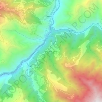
Name: Trashigang topographic map, elevation, terrain.
Location: Trashigang, Tashigang Dzongkhag, Trashigang District, Bhutan (27.29128 91.51207 27.37128 91.59207)
Average elevation: 1,441 m
Minimum elevation: 633 m
Maximum elevation: 2,982 m