
Bandar Saujana Putra topographic map
Interactive map
Click on the map to display elevation.
About this map
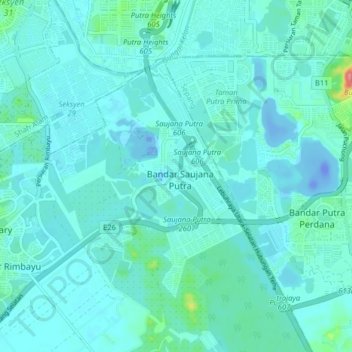
Name: Bandar Saujana Putra topographic map, elevation, terrain.
Location: Bandar Saujana Putra, Selangor, 42610, Malaysia (2.91283 101.53894 2.99283 101.61894)
Average elevation: 10 m
Minimum elevation: -36 m
Maximum elevation: 88 m